2023-10-26 NASA
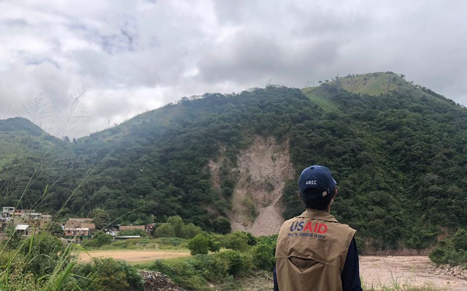
 A humanitarian worker from USAID observes the impacts of a landslide. USAID deployed an elite Disaster Assistance Response Team on Nov. 17, 2020, to lead the U.S. response to Hurricanes Eta and Iota.
USAID’s Bureau for Humanitarian Assistance
◆NASAのLHASA(Landslide Hazard Assessment for Situational Awareness)モデルが、のDisasterAWAREプラットフォームに統合されました。LHASAは、降雨による土砂崩れの危険をマッピングし、世界中のDisasterAWAREユーザーに土砂崩れの脅威を特定し、追跡し、対処する堅牢なツールを提供します。この取り組みは、災害耐性を高め、生命と生計を保護するためのタイムリーで重要なリスク意識を提供することを目的としています。
◆土砂崩れは毎年数千人の死亡と数十億ドルの被害をもたらし、途上国は効果的なリスク削減と回復のための資源にアクセスできないため、過度の損失を被っています。 PDCのDisasterAWAREソフトウェアは、さまざまな自然災害の早期警告およびリスク評価ツールを提供し、災害管理機関、地方政府、人道機関による意思決定をサポートします。 PDCとの協力により、NASAの土砂崩れツールは数千人以上の既存のDisasterAWAREユーザーに提供され、LHASAのリーチと効果が大幅に向上します。
<関連情報>


