2024-02-01 NASA

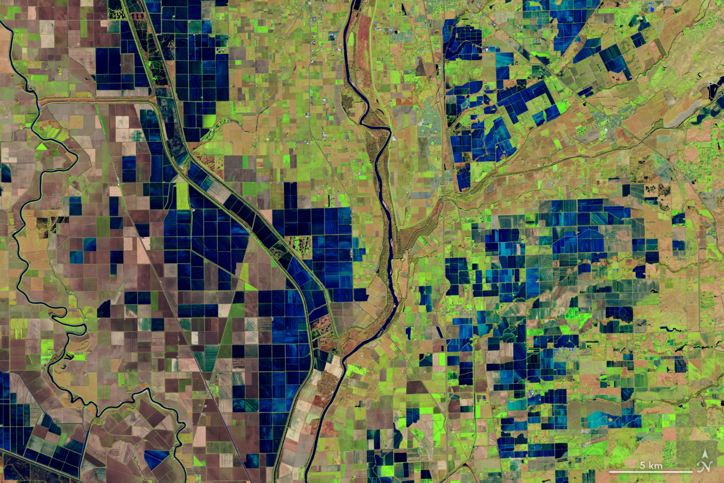
This is a false-color image, acquired December 26, 2018, with the OLI (Operational Land Imager) on Landsat 8, and shows flooded rice fields along the Sacramento and Feather Rivers. Inundated fields appear dark blue; vegetation is bright green. NASA Earth Observatory / Lauren Dauphin
◆NASAのOpenETシステムは、Landsatプログラムのデータを利用して水管理に成功しました。このシステムは6つの衛星モデルを組み合わせ、農家や水資源管理者が土地ごとに蒸発散(ET)を計算できるようにしました。
◆研究では、OpenETが作物や自然景観のETをアメリカ全土で高い精度で追跡し、特に小麦、トウモロコシ、大豆、米などの年間作物に対して有用であることが示されました。この成果は2024年1月15日にNature Waterに発表され、OpenETの信頼性が向上していることが強調されています。
<関連情報>


