")
2023-06-27 ノースカロライナ州立大学(NCState)
◆このモデルは、地域の水資源を考慮に入れながら焼畑の計画を立案し、大規模な山火事の可能性を低減するために公園管理者をサポートします。
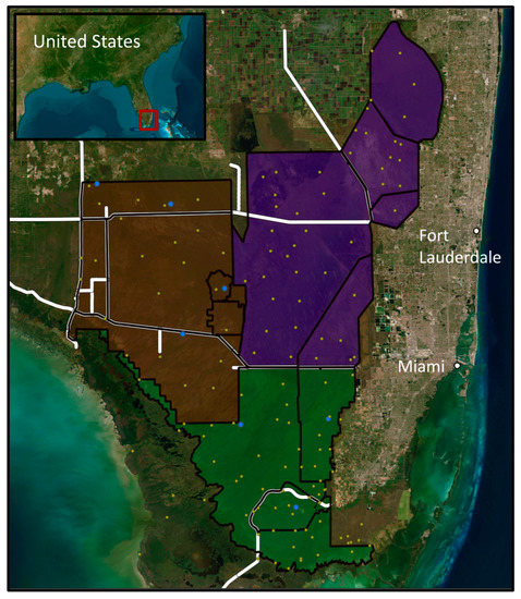
◆南フロリダは、計画的な焼畑プログラムを持つ特殊な地域であり、火災に適応した植物種が多く存在します。研究者たちは、植生情報や気象データ、過去の焼畑の位置情報、エバーグレーズとビッグサイプレス国立保護区からの水位データを組み合わせてモデルを作成しました。
◆このモデルは、焼畑の計画、活動中の山火事のリソース評価、火災の拡大の方向や範囲の予測に活用できます。将来の気候変動による山火事の予測はできませんが、このモデルは南フロリダや他の地域で相対的な火災リスクを理解するために役立つとされています。
<関連情報>
- https://news.ncsu.edu/2023/06/new-tool-maps-south-florida-fire-risk-pixel-by-pixel/
- https://www.mdpi.com/2571-6255/6/6/236
燃料の種類、水位、燃焼履歴を用いた意思決定支援のための南フロリダの日々の火災リスクのマッピング Mapping South Florida Daily Fire Risk for Decision Support Using Fuel Type, Water Levels, and Burn History
Kate Jones and Jelena Vukomanovic
Fire Published: 14 June 2023
DOI:https://doi.org/10.3390/fire6060236
Abstract
Mapping fire risk in South Florida depends on spatially varying water levels, fuel characteristics, and topography. When surface water levels recede below the lowest topographic features (cypress strands, marshes, etc.), the ecosystem loses its natural, wetted fire breaks, and landscape-level fire risk increases. We developed a geospatial method to generate daily, categorical fire risk maps; the maps visualize low-to-high risk areas using a newly developed 100 m DEM, modeled water levels, fuel types, and fire management units. We assigned fire risk by creating a water level distribution for each unique combination of fuel type and fire management unit; fire risk was then assigned for each pixel based on risk percentiles commonly used by fire management agencies. Assigning risk based on unique fuel types and management units helped avoid over- or under-assigning fire risk that may occur when applying landscape-level “average” risk relationships. Daily maps also incorporated (1) energy release component data to better estimate fuel moisture and (2) historical burn footprints to reduce risk in recently burned areas. Our data-driven approach generated at management-relevant spatial scales may enable more informed prescribed burn planning and may increase the efficiency of staff and resource allocation across the landscape on high-wildfire-risk days.
")
")