

2026-09-16 NASA
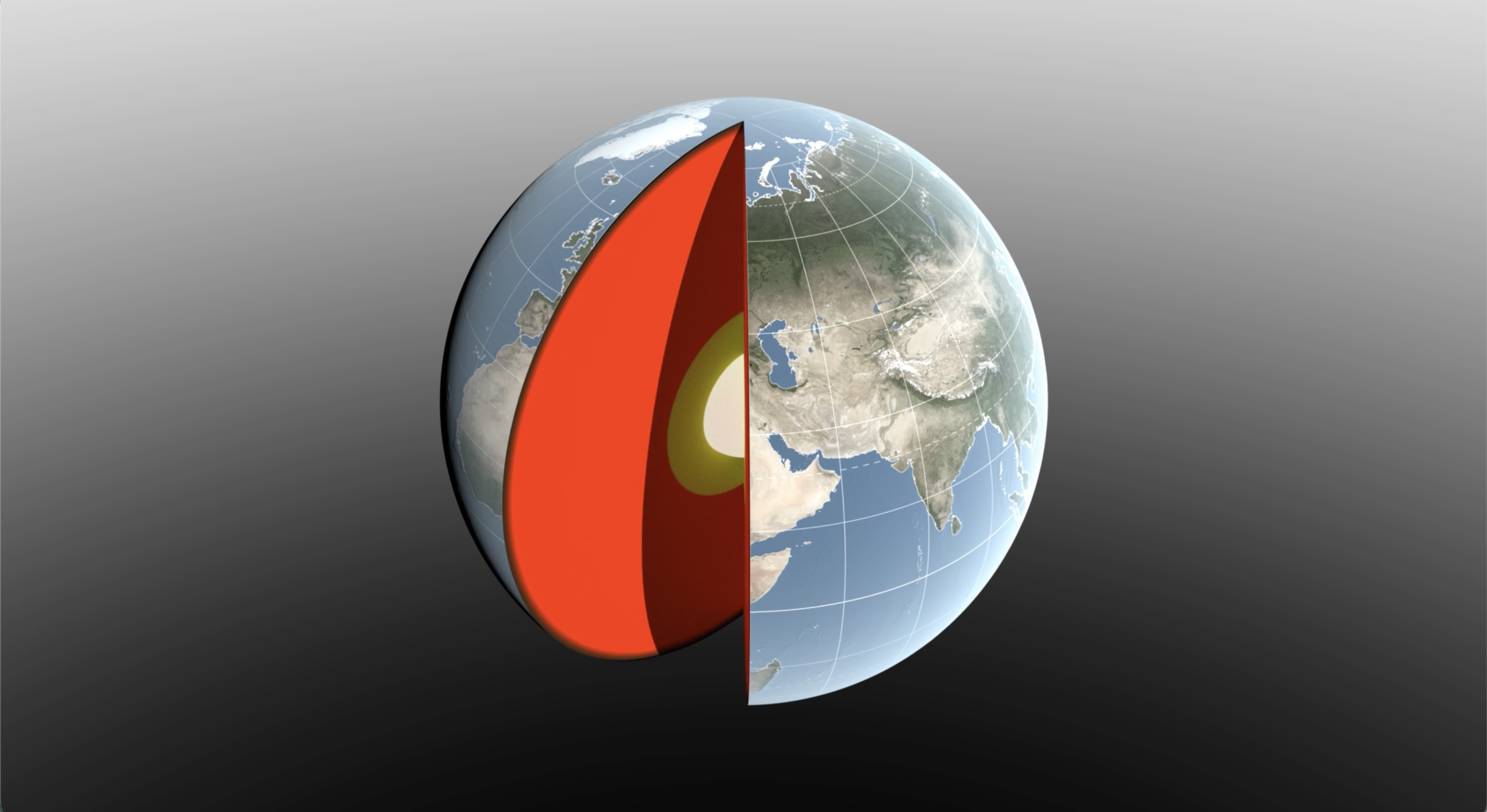
Water sloshing between the land and oceans shifts Earth’s center of mass relative to its geometric center. NASA scientists have developed a new technique using ultraprecise satellite tracking to estimate the displacement to within fractions of inches. NASA’s Scientific Visualization Studio
<関連情報>
- https://www.nasa.gov/science-research/earth-science/nasa-watches-earths-weight-finds-center-of-mass/
- https://academic.oup.com/gji/article/247/2/ggag314/8793649
地球の重心と図の中心間の季節変動の推定と原因 Estimation and cause of the seasonal oscillation between Earth’s centre of mass and centre of figure
Donald F Argus,Kevin M Gaastra,Bruce J Haines,Michael B Heflin,Felix W Landerer,Athina Peidou,David N Wiese,Geoff Blewitt,Corné Kreemer,Henryk Dobslaw,…
Geophysical Journal International Published:14 September 2026
DOI:https://doi.org/10.1093/gji/ggag314
SUMMARY
Geophysicists often assume that the displacement of the centre of a geodetic network (CN) approximates that of Earth’s centre of figure (CF), and that the displacement of CN relative to Earth’s centre of mass (CM) accurately records interhemispheric fluctuations in the atmosphere, ocean and continental water. Traditionally, satellite laser ranging (SLR) determines CM, the point about which satellites orbit. However, CN does not approximate CF very well because variations in Earth’s fluid envelope elastically deform the solid Earth. The clustering of half of SLR sites in Europe and North America worsens the CN approximation of CF. We present a new technique to more exactly estimate the displacement of CF relative to CM. We first assumed that changes in mass of the atmosphere, ocean and continental water are solely responsible for seasonal elastic deformation of the solid Earth. We next subtracted model predictions of elastic displacement relative to CF produced by these three sources from series of site position versus time. We then estimated displacement of CF–CM to be the mean displacement of the adjusted site positions. Our technique is superior to prior methods in that, if we know the elastic displacement of a site relative to CF, we can infer the displacement of CF from a single site. We thus calculated the mean displacement of estimates of CF that are expected to be identical, as opposed to averaging values that are expected to be different as before. Our technique does not require a nearly uniform global distribution of geodetic sites. Our two estimates of the peak-to-peak annual oscillation of CF relative to CM, the first from traditional SLR and the second from integration of GPS, SLR and Low-Earth Orbiters, are within 2.5 mm of both the ITRF2020 estimate and the value inferred from Gravity Recovery and Climate Experiment (GRACE), indicating that all four estimates are robust. The ability of GPS and Low-Earth Orbiters to determine CM is a technical advance, and the more even global distribution of GPS sites available to locate CM is a strength. In GRACE, the phenomena primarily causing exchange of mass between the hemispheres are the transformation of Eurasia and North America snow (maximum in March) and of Amazon rainforest water (maximum in April) into ocean water (maximum in October). Southeast Asia monsoon water (maximum in September) and the amassing of Pacific Ocean water (maximum in August) are secondary contributors to the annual oscillation of CM relative to the solid Earth (CF). The European Centre for Medium-Range Weather Forecasts model predicts that variations in atmosphere mass contribute significantly to the interhemispheric transfer, and that maximum atmosphere mass occurs in July, three months after and before, respectively, maximum continental water and ocean mass. From an independent test, we found that estimates of CM from satellite orbit determination are to a high degree consistent with variations in the atmosphere, ocean and continental water in the geophysical models.

