2026-08-11 中国科学院(CAS)
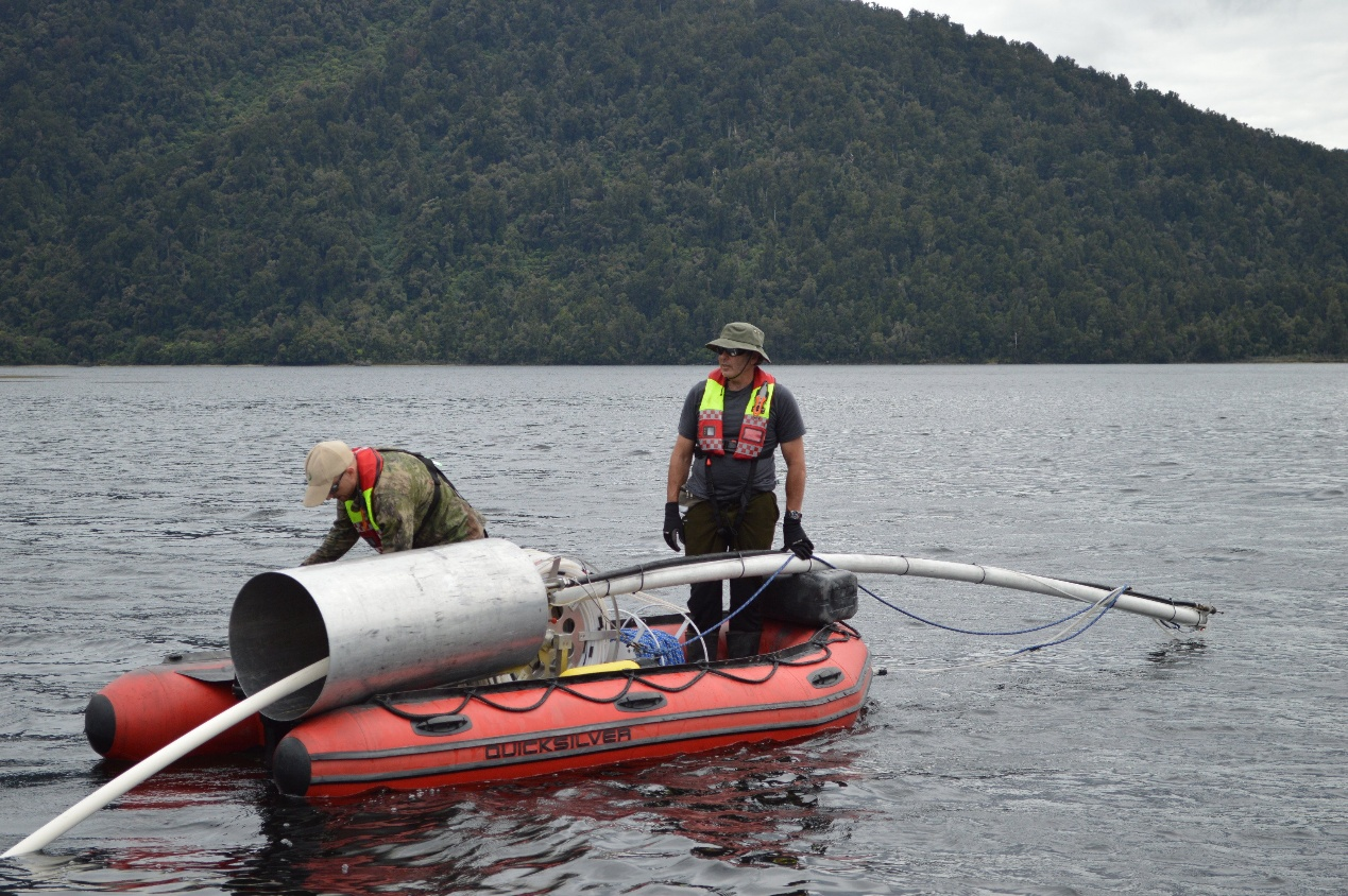
Study authors Jamie Howarth and Sean Fitzsimons collect a sediment core from Lake Paringa, New Zealand, for reconstructing the erosion history following large earthquakes. (Credit: Adelaine Moody)
<関連情報>
- https://english.cas.cn/newsroom/research-news/202608/t20260812_1187828.shtml
- https://pubs.geoscienceworld.org/gsa/geology/article-abstract/doi/10.1130/G54785.1/734196/Topographic-regime-controls-the-response-of
地形条件が、大地震に対する侵食の反応を左右する
Topographic regime controls the response of erosion to large earthquakes
Jin Wang;Jamie D. Howarth;Zhangdong Jin;Erin L. McClymont;Alexander L. Densmore;Sean J. Fitzsimons;Thomas Croissant;Darren R. Gröcke;Martin D. West;Erin L. Harvey;Mark H. Garnett;Chao Zhu;Robert G. Hilton
Geology Published:July 28, 2026
DOI:https://doi.org/10.1130/G54785.1
Physical erosion can impact the carbon cycle over a range of time scales. In mountains, widespread landslide-triggering events can remove significant quantities of soil from landscapes, yet isolating the spatial pattern and processes of erosion is difficult. Here we reconstruct the impacts of a great earthquake (Mw >8.0) on two lake sedimentary systems in New Zealand and use a combination of geochemical proxies to explore organic matter provenance and soil erosion. The two catchments differ notably in their geomorphic properties, with the median slope of the Lake Mapourika catchment of 47° (+11°/−18°) versus 39° (+9°/−13°) in the Lake Paringa catchment. Carbon and nitrogen isotopes, n-alkane abundance, and n-alkane hydrogen isotopes show that in the steeper Lake Mapourika catchment, landslides from the earthquake mobilized aged soil organic matter and rock-derived organic carbon by deep erosion. Rock organic carbon erosion increased from 15% (+14%/−10%) to 24% (+13%/−13%) in the Lake Mapourika catchment following the earthquake. By comparing the slopes, sediment connectivity, and stream power indices, we show that in the steeper Lake Mapourika catchment, erosion mobilized deeper soil and more bedrock than in Lake Paringa throughout the record, implying that bedrock landslides remained a key process both during and after the earthquake. Thus, we find that even along the same fault zone and under similar climatic, geological, and ecological conditions, topography strongly controls physical erosion as well as its response to widespread landsliding events.